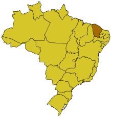
Map of Ceará

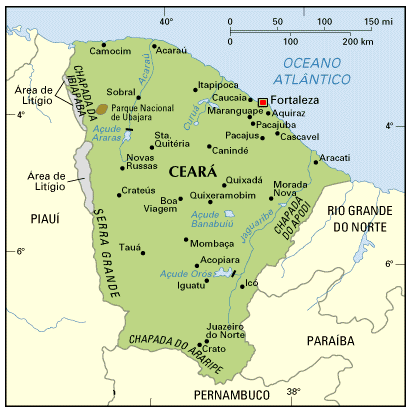
The State of Ceará has an area of 146.348,3 km2.
The coast line is 573 km (356 miles). The coast is divided in Eastern Coast (Litoral Leste), from Fortaleza eastwards to neighbour State of Rio Grande do Norte, and Western Coast (Litoral Oeste), from Fortaleza westwards to the neighbour State of Piauí.
Fortaleza is the capital and most important city in Ceará. By population, the other largest cities in Ceará are Caucaia, Maracanaú, Juazeiro do Norte and Sobral (the only cities with more than 100,000 inhabitantes, census 2000).
Besides cities in the metropolitan area of Fortaleza (such as Caucaia and Aquiraz), the most important touristic spots in Ceará are Jericoacoara (still a small village, with a little over 10,000 residents), located about 300 km east of Fortaleza, and Canoa Quebrada, in the city of Aracati (the best carnival in Ceará), about 200 km west of Fortaleza.